Watch iMocha’s CEO share real stories of enterprises thriving with skills-first transformation.
Learn More


The Spatial Analysis test evaluates candidates' ability to interpret and manipulate spatial data, crucial for roles in GIS and geospatial analytics. It identifies individuals skilled in integrating temporal-spatial data, mining spatial patterns, and applying advanced geoprocessing techniques. This assessment helps recruiters efficiently screen for talent capable of solving real-world location-based problems, ensuring hires can contribute to accurate mapping, urban planning, and environmental modeling from day one.
Temporal-Spatial Data Integration, Spatial Data Mining, Advanced Geoprocessing Techniques, Map Projection Concepts, Spatial Querying
GIS Analyst, Spatial Data Scientist, Geospatial Engineer, Cartographer, Urban Planner
Proficiency in combining time-based and location data for dynamic analysis
Ability to extract meaningful patterns from geospatial datasets
Expertise in processing complex geographic information using tools like GIS software
Understanding of coordinate systems and projections for accurate mapping
Skill in querying spatial databases to retrieve relevant location-specific information
iMocha's Spatial Analysis test provides deep insights into candidates' geospatial reasoning and technical proficiency through scenario-based MCQs on map projections and spatial queries. It includes advanced geoprocessing simulations to gauge practical application. With AI-proctored sessions, secure browser lockdowns, and detailed percentile reports, it ensures reliable, high-integrity hiring decisions for location-based roles.

Choose easy, medium, or tricky questions from our skill libraries to assess candidates of different experience levels.
Choose easy, medium, or tricky questions from our skill libraries to assess candidates of different experience levels.

Choose easy, medium, or tricky questions from our skill libraries to assess candidates of different experience levels.

Choose easy, medium, or tricky questions from our skill libraries to assess candidates of different experience levels.
Spatial Analysis assesses core competencies in handling geospatial data, including integration of temporal elements, mining for insights, geoprocessing workflows, map projections, and spatial queries. These skills are vital for professionals in geography, urban planning, and environmental science, enabling efficient decision-making in location-intelligence applications and supporting data-driven strategies in industries like logistics and real estate.

Wondering what other skills we have?
Checkout world’s largest Skills Assessment Library.
This a comprehensive PDF report, which you can instantly download and share with your hiring team or candidates for seamless collaboration.
Download Sample Report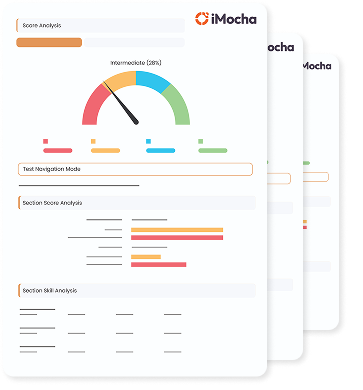


%20(1).webp)


.webp)
.webp)


